• Sort Blog:
  • All
  • Uncategorized

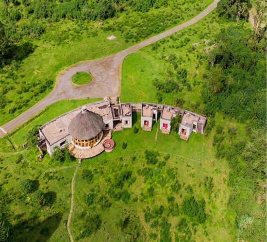
Ethiopia – Digital Forestry and Digital Conservation Management / GIZ Biodiversity and Forest Programme III

Subject of the project: Development of digital solutions and strengthening of technical skills for the institutionalization of instruments for protected area management and forestry value chain promotion.

The project aims to

  1. support the Amhara Forest Enterprise (AFE) to develop the Forest Enterprise Management Information System, a system for forest inventory, and the management of seed production, nurseries, forest establishment, forest utilization, sawmills and stores. The system is Web- and App-based, offline-capable and Geo-enabled.
  2. support the Ethiopian Wildlife Conservation Agency (EWCA) in setting up an e-learning platform for conservation management for the institutionalization of conservation knowledge.
  3. support the Wondogenet College in setting up an e-learning platform for forest management for the institutionalization of forestry knowledge.
  4. set up two knowledge management platforms at Wondogenet and EWCA.
  5. develop a digital match making platform for potential investments in tourism and conservation.
  6. develop an aggregated platform for NDC monitoring.

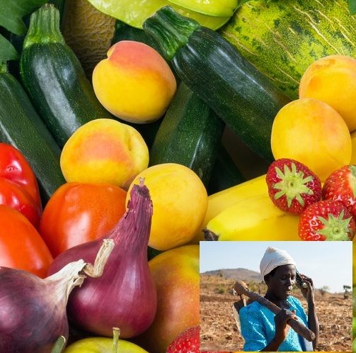
Mosambik: ICT4Agriculture support in Contract Farming

Funding:

Federal Ministry for Economic Cooperation and Development BMZ

Consulting:

COMO via Gesellschaft für Internationale Zusammenarbeit GIZ

Project

Analysis of the potential of introducing ICT in Contract Farming in Mozambique.

Enhancing value chain efficiency trough better information management in contract farming has a high potential. A higher quality of the products, shorter transport times and better planning basis are advantageous for the buyer, direct access to sound knowledge, faster payment and a better market access are benefits for the farmer.  Traceability, difficult to achieve without ICT, is becoming important for export and fair trade. Internet access by Smartphones is given almost everywhere worldwide which allows to apply modern technologies in remote areas. The project is designed as a pilot with Companhia do Vanduzi as partner. Later upscaling is foreseen if the project proofs to be successfull.


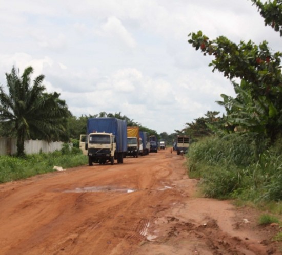
Benin: Preliminary Screening, Feasibility and Roads Prioritization Study

Funding:

Millennium Challenge Corporation

Consulting:

GAUFF Engineers

Project:

  • Spatial multi-criteria analysis of 2.000km of roads in Benin for the prioritization of roads for rehabilitation or construction,
  • Incorporation of high-resolution UAV remote sensing data,
  • Setup of a GIS database, data modelling,
  • Spatial assessment of potantials for the improvement of agricultural productivity, promotion of women’s rights, protection of the environment.

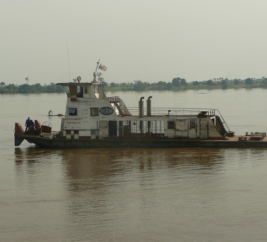
Congo Basin: Improvement of Inland Navigation

Funding:

Federal Ministry for Economic Cooperation and Development BMZ

Consulting:

Gesellschaft für Internationale Zusammenarbeit GIZ

Project

Support to the International Comission for the Congo Basin (Commission Internationale du Bassin du Congo-Oubangui-Sangha CICOS).The river Congo and its tributaries are the main transport routes for the regional trade and thus the backbone of the regional economy. The road network is virtually non-existent and only the rivers guarantee continuity. Yet, the absence of any maintenance measures result in a high insecurity for the regional economy.

The project targets the improvement of inland navigation through

  • Introduction of better information management (harmonized fleet management),
  • Navigation maps,
  • Observatory for navigation incidents,
  • Decision support system for inland waterway transportation, in particular for Seuil de Zinga,
  • Web based harbor register,
  • Training and capacity building.

Burkina Faso: Monitoring of the Rural Drinking Water Sector – Achieving the Millennium Goals

Funding:

European Union

Consulting:

GOPA

Project

The 2nd High Level Forum on Aid Effectiveness  in Paris 2005 formulated the Paris Declaration which postulates the development of instruments for better planning, monitoring- and evaluation and for transparent performance assessment of projects in the light of the achievement of the Millenium Goals.

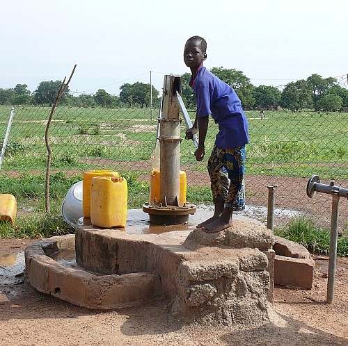
Geo-Solutions developed the GIS-based planning- and monitoring-instuments SIG-OMD for standardized modelling of the access to drinking water on national, regional and local level.They helped optimizing the investments into the sector which after eight years resulted in a higher equality of the peoples access to safe drinking water. These tools support the decentralization process, combine the national top-down process with  bottom-up approaches and help enhancing water governance through the introduction of transparency and trust.

Caribbean: Climate Change Adaption & Protection of Marine Biodiversity

Funding:

Federal Ministry of Economic Cooperation and Development BMZ

Consulting:

Gesellschaft für Internationale Zusammenarbeit GIZ

Project

St. Lucia/Dominica/Saint Vincent & the Grenadines/St. Kitts & Nevis/Guyana/Jamaica/Belize

  • Development of Web-based information portal (www.caribbeanCATS.org).
  • GIS-based Modellierung of Watersheds of six caribbean countries.
  • Development of QGIS-based „on-a-stick“ GIS projects for six countires.

Congo Basin: Water Information System

Funding:

Federal Ministry for Economic Cooperation and Development BMZ

Consulting:

Gesellschaft für Internationale Zusammenarbeit GIZ

Project

Support to the International Congo Basin Commission (Commission Internationale du Bassin du Congo-Oubangui-Sangha CICOS). Information management for the transboundary management of the basin through shared online information systems. Development of planning- and evaluation instruments for transboundary integrated water management.

  • Capacity building (GIS, Excel, GPS, Remote Sensing).
  • Development of web-based water information system (hydrology, transport, safety, dams) incl. WebGIS.
  • Thematic cartography.
  • GIS-based modelling of watersheds to fourth degree.

Belize: Institutional Development of the Sugar Industry Management Information System SIMIS

Funding:

European Union

Consulting:

NIRAS A/S

Project

The Belizean sugar industry is one of the backbones of the country’s economy. 90% of the produced sugar are exported to the European Union. It is expected that sugar prices will fall by 25-35% after the withdrawal of EU sugar price support in 2017. To avoid economic collapse for the Belizean sugar industry the only appropriate answer to this imminent global decline in sugar prices is an increase of the sugar industry’s efficiency.

The lack of information on sugar cane acreages, productivity values, parcel ownership etc. has been identified as one of the major challenges for the sustainability and resilience of the sugar industry in Belize. In 2013 it has been agreed among all stakeholders that the introduction of a performant management information system accompanied by a comprehensive data inventory is necessary. The European Union supports this process by supporting the Sugar Industry Research and Development Institutes SIRDI in the development of such a system. InPhase 1 of the project a comprehensive inventory of the parcels under sugar cane production was realized and a farmer database was established.

Phase 2, started September 2015, targets the development of a multi-stakeholder shared management information system meeting the the needs of all stakeholders of the Belizean sugar industry. This system aims to enhance processes in planning and execution through introduction of transparency and trust.

The development of GIS-based models for forecasting productivity and harvesting cycle and a barcode-based delivery system allowing to track the cane from the field to the mill shall help to enhance the efficiency of transport and transformation of the cane. Geomatics play a major role as spatial variability of soil parameters, geomorphological and climatological parameters cannot be handled without geographical information systems.