

My expertise covers the interaction between human being, environment and technology. Applied in Integrated Water Management, in Flood Protection, Food Security and Transport for Planning, Implementation, Monitoring and Evaluation: The services target the balance between human being and his environment by knowledge transfer and applied informatics.
SPATIAL SCIENCES AND GEOMATICS
Research and operating experience in the fields of environmental resources management enable the target-oriented development of databases and GIS-Models. The tight interlinkage of consulting and development was proofed in more than 50 projects in over 20 countries.
Development tools comprising C# .Net, ASP .Net, PostgreSql, Oracle, ArcObjects, MapWindow and others.
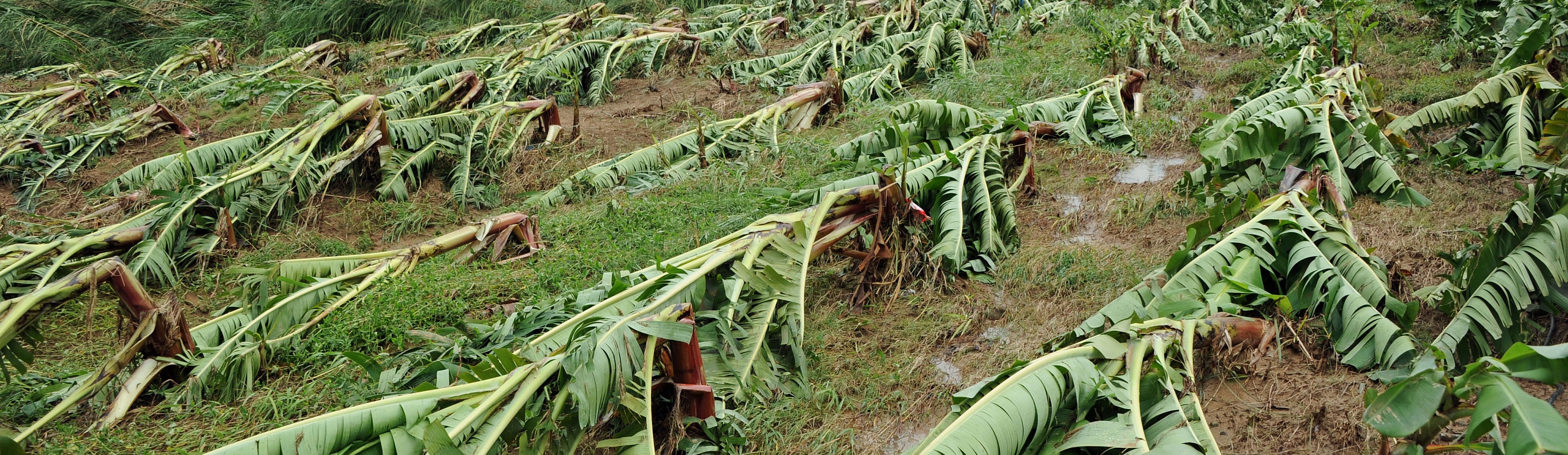
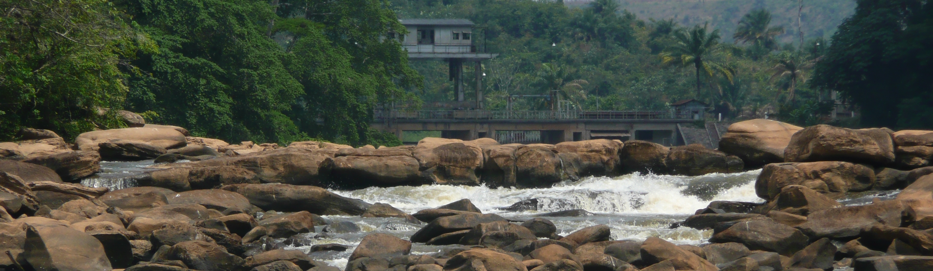
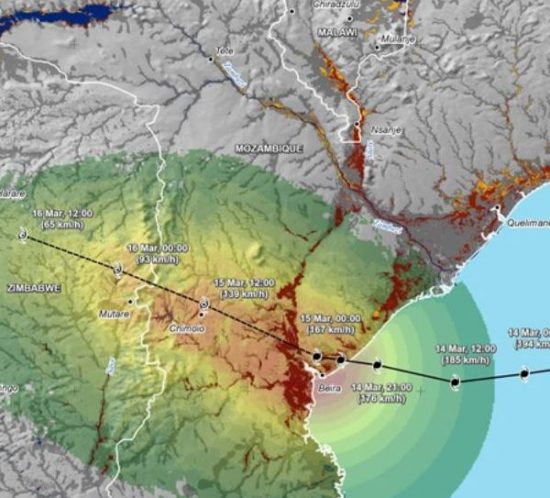
FLOOD PROTECTION AND FLOOD MANAGEMENT
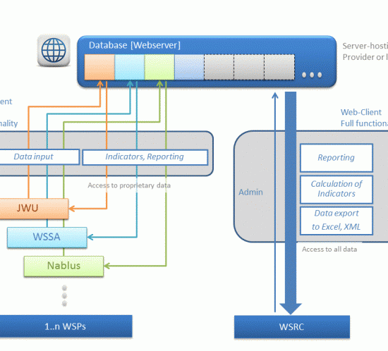
Since 15 years Geo-Solutions is engaged in developing geo-based management information systems and geotechnical expert systems in the area of flood control and plant/levee safety. The intensification of information quality through the combination of Geographical Information-System with Databases and Document Management Systems helps optimizing the quality and reaction time of decisions.
INTEGRATED WATER MANAGEMENT
The internationally recognized water policy concept of Integrated Water Resources Management (IWRM) is a process which targets sustainable development through coordinated management of water, land and human being. Geographical Information Systems and related data collection networks are essential tools for the establishment of the necessary accurate planning basis.
DEVELOPMENT COORPORATION
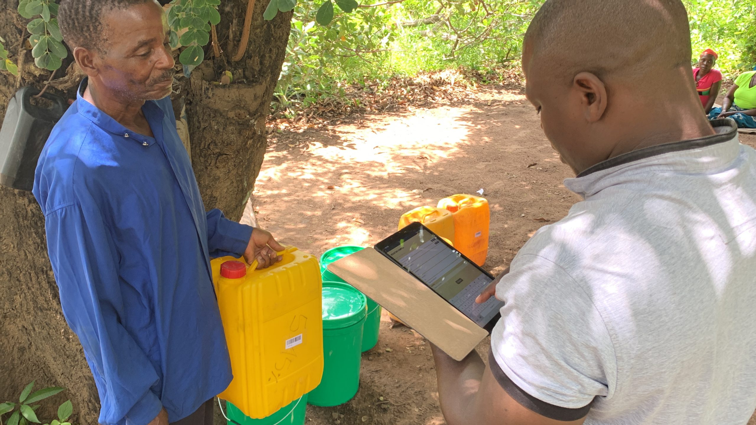
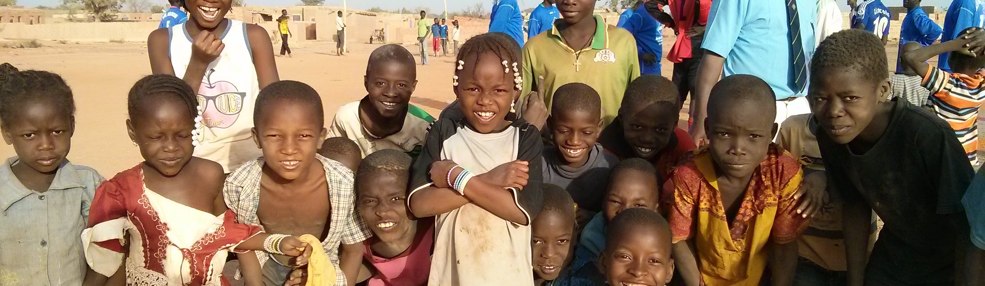
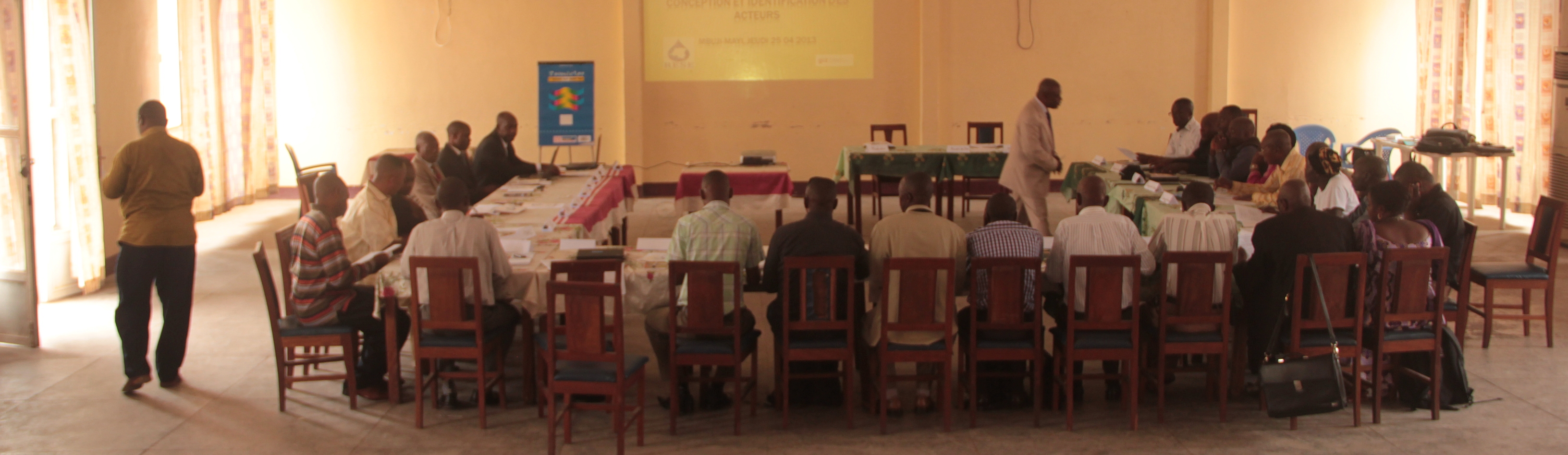
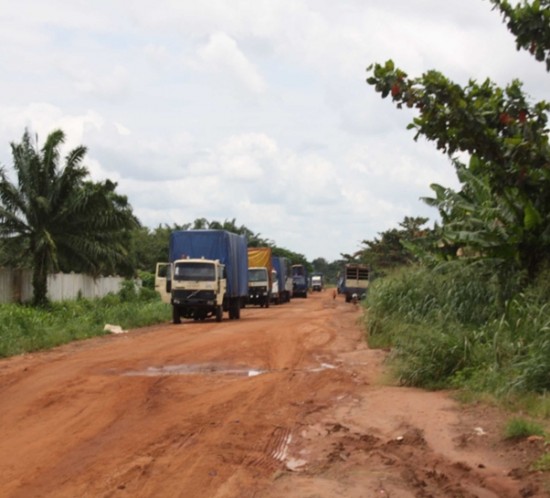
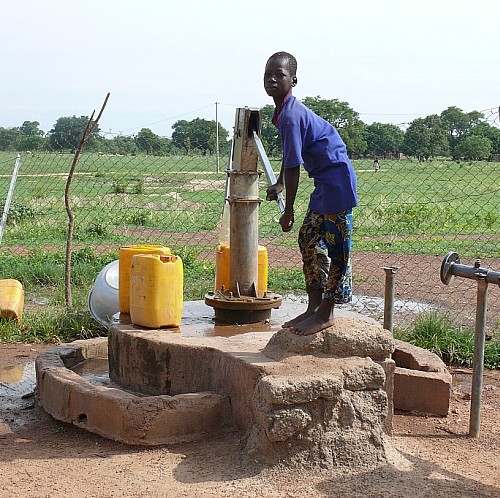
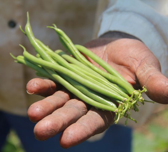
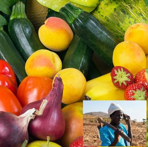
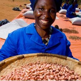
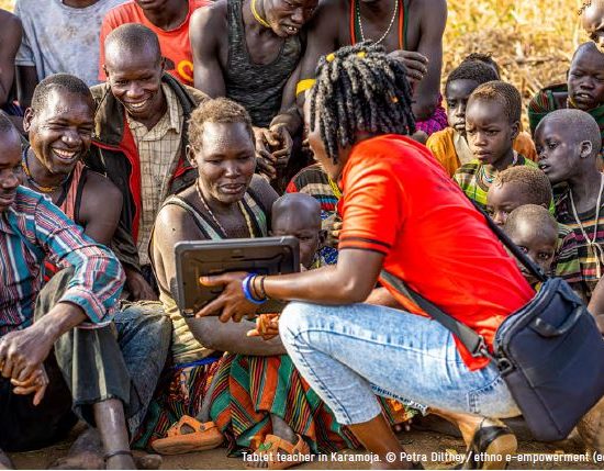
Education and stability are condiments for social development. Basic needs like water supply, sanitation and food security are to be guaranteed for a better equity and social justice. Since 20 years, Geo-Solutions is developing solutions in the fields of water management, transport and food security. Stakeholder dialogs, knowledge transfer and capacity development help identifying global threads by climate change and resource degradation and developing appropriate counter measures. Custom-tailored information systems, models and thematic mapping help defining appropriate measures to fight these threads and to minimize risks.


Experience and skills
24
Countries
4
Continents
4
Languages
53
International projects
Tools and soft skills
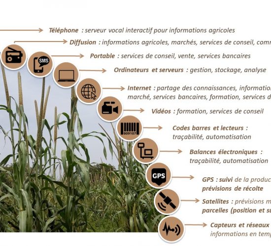
The manifold project objectives of the different fields demand for a combination of soft skills and expertise. Modern information management is inconceivable without ICT solutions. Geographical information systems are an important basis for the understanding of natural, complex and dynamic relations of resource conflicts. Databases and document management systems facilitate access to the plurality of existing information. Decision support systems enhance the quality of the work of the decision-makers.
Participatory approach and stakeholder dialogs at the start, during and after a system’s development are means to better adapt systems to the needs of future users. At the very end, an information system has to be tailored . The readiness to share information and to concertedly manage an information platform is a basic and indispensable requirement for information management.

Please contact me
Dr. Dipl.-Ing. Dipl.-Geol. Ralph Elsaesser
Thank you for using the contact form to request further information or my CV in one of four languages.